
BUFFALO, N.Y. -- Ever since the Snowvember storm hit several years back, Erie County has been working on an interactive map to keep residents updated on road conditions and hazards. That website is now up and running.
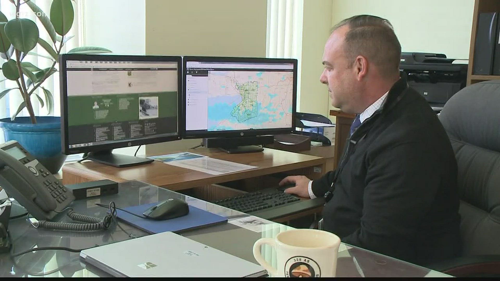
Roads are colored green (clear), yellow (use caution) or red (closed). You can also click on any road to see more specifics and whether or not the street is plowed by Erie County or another municipality.
The map also shows hazards, such as lane closures. It can be used to identify where street paving will take place, for instance.
"Any volume that we can just give people advanced notice and reduce that volume, that makes that road a little bit safer possibly for our workers," said Bill Geary, Erie County Commissioner of Public Works. "That's always our number one priority is safety, whether it's for the public or our workforce."
Erie County also has a website showing a full list of all 1,200 miles of roads in Erie County and who is responsible for plowing that roadway (the county, a city, town, village, etc.)
Finally, the county has debuted a site updated by the Parks, Recreation and Forestry Department that tells when county winter sports facilities are open or closed, perhaps due to the weather.