A line of intense thunderstorms caused hundreds of reports of wind damage and knocked out power to over a half million people at one point Halloween night.
Following an unusually warm and humid day in the Northeast on Thursday, the storms appeared to cause the most widespread damage across eastern Pennsylvania and northern New Jersey, but the impact was felt throughout the East.
One person was critically injured near Colesville, Maryland, when a tree fell onto a car Thursday evening.
Over 300 locations in the East reported damaging winds on Thursday night, downing trees and power lines in areas throughout North Carolina, South Carolina and Virginia.
On Friday morning, over 750,000 customers across the Great Lakes, Northeast and mid-Atlantic were left in the dark as the storms swept eastward, including around 240,000 in Pennsylvania and over 200,000 in New York state.
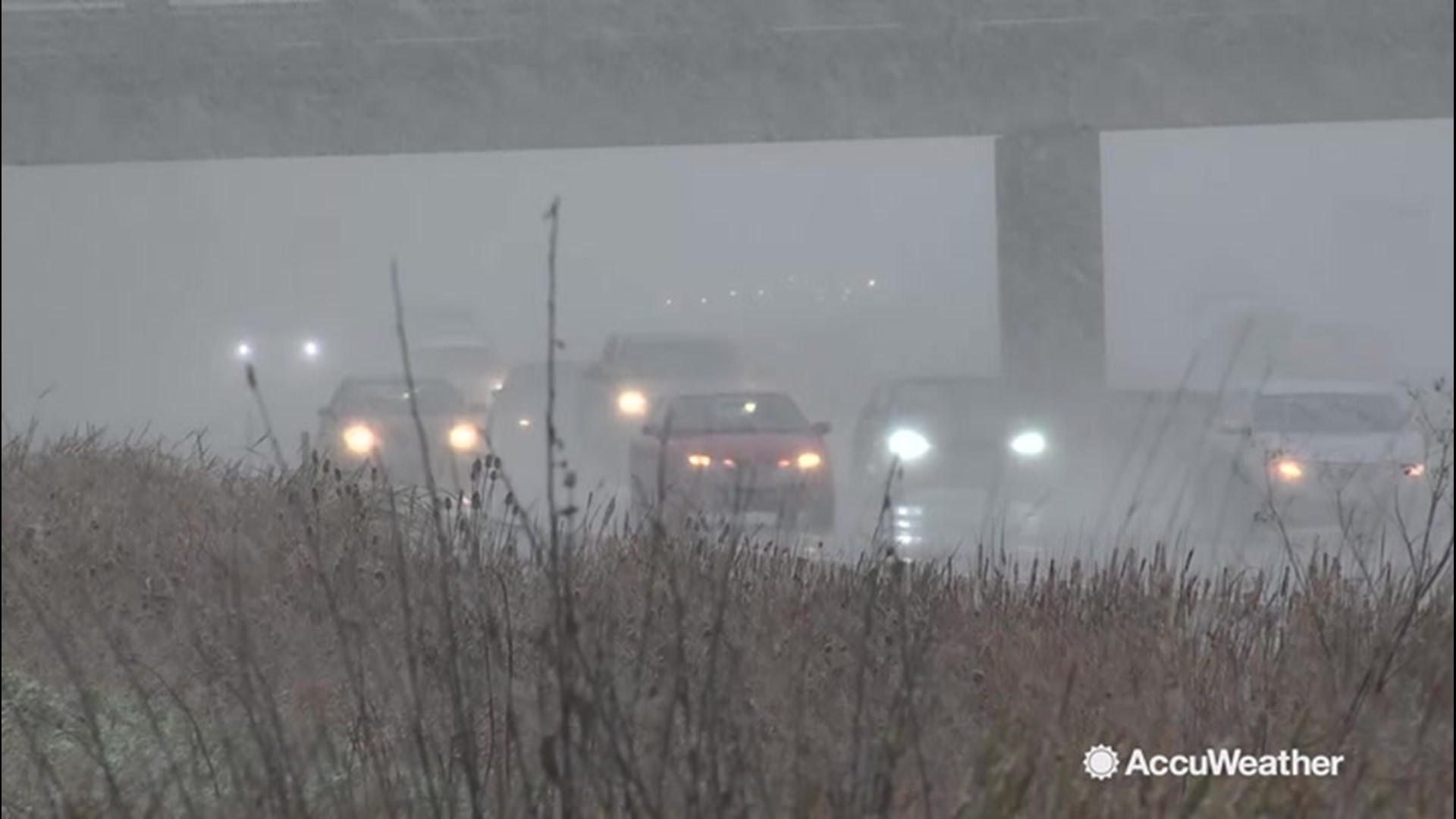
The strong storms also delayed flights in places like New York City and Philadelphia on Thursday evening, but rolled through late enough to keep the delay totals relatively low.
During the predawn hours of Friday, the storms continued their march eastward, taking down trees and power lines into Massachusetts and all across southern New England.
In New England, winds gusts reached 70 mph at the Blue Hill Observatory in Milton, Massachusetts while a number of locations in Rhode Island and Connecticut reached 59 mph.
The damage was not just limited to the Northeast. The line of storms extended southward, bringing widespread reports of wind damage across the southern Appalachians. A gust of 61 mph in Wellsboro, Pennsylvania was recorded
A cold front running into the warm and unusually humid air in place was the catalyst for the severe weather in the East. Temperatures from New York City to Washington, D.C., reached the 70s Thursday afternoon, while highs from parts of Virginia down through the Carolinas jumped into the 80s.
A narrow line of storms formed as a result, bringing the widespread damaging winds that toppled trees and power lines over such a large area.
Tornado watches and even a few warnings were issued for portions of the mid-Atlantic into Thursday evening, but there have been no confirmed tornadoes as of early Friday morning.
Away from the line of thunderstorms, strong winds were blowing around the back side of a storm near the St. Lawrence Valley.
The persistent west-southwesterly flow blowing across Lake Erie pushed a large amount of water into western New York Thursday night, leading to flooding along the shoreline.
 A persistent wind blowing out of the west-southwest led to water piling up in the eastern end of Lake Erie near Buffalo, leading to the spike in the lake level Thursday night. (Image/NOAA)
This event is known as a "seiche," and occurs when wind pushes water from one end of the body of water to the other, much like how water sloshes from one end of a bathtub to the other.
The push of water and the ensuing flooding Thursday night closed roads along the Lake Erie shoreline as winds gusted over 55 mph.
Strong, gusty winds will persist throughout the day on Friday across the Northeast as the storm system pulls away.

The wind brought a quick change from the warm and humid air mass to a much colder one in just the span of a few hours.
This colder weather pattern will persist over much of the eastern United States through the opening days of November.
Related video: Snowy travel conditions on Halloween