
More snow is in store for Western New York.
A Winter Storm Warning was in effect for southern Erie and Chautauqua counties. It expired at 1 p.m. Saturday.
Heavy lake effect snow is possible during that time. Be prepared for heavy snow cover on the roads and poor visibility, especially on the Thruway from Angola to the Pennsylvania state line. Conditions within the relatively narrow lake effect bands can change rapidly.
A travel advisory for the City of Dunkirk has been put in place until further notice.
The greatest additional accumulation will be near the Lake Erie shore and western portions of the Boston Hills.
RELATED: Code Blue in Buffalo tonight
Expected totals
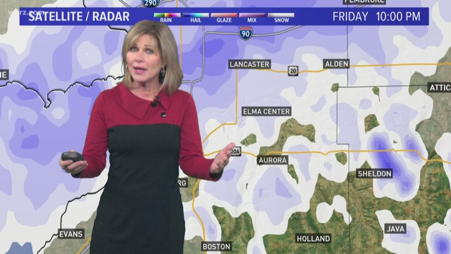
Total snow accumulations for southern Erie, Chautauqua, Cattaraugus and Wyoming counties of 10 to 18 inches are expected in the hardest hit areas. The highest amounts are most likely in the Southtowns in central and southern Erie County.
The immediate downtown Buffalo area and Northtowns will likely pick up 1 to 4 inches of snow. South Buffalo, Lackawanna, West Seneca and East Aurora will be right on the edge of the snow band at times and will likely see amounts ranging from 3 to 6 inches. Jamestown, Little Valley and Cattaraugus will see fairly small accumulations of 2 to 4 inches. Winds will also be gusting as high as 40 mph, especially close to the water.
Keep checking in for adjustments in the lake band migration and timing.
Stay with Storm Team 2 for the latest weather updates.