BUFFALO, N.Y. — One fun part of my job involves visiting with classrooms and talking about weather, science and what it’s like to forecast the weather in Buffalo.
No matter what age group I’m talking with, someone always asks, “What’s the hardest part of the weather to forecast?” I love this question because, of course, the answer involves getting a little bit geeky.
When meteorologists make forecasts, they use a combination of observations from satellites, radar and ground reports, computer models and their own atmospheric knowledge. The computer models are what really give us the edge on predicting anything beyond the next 12 hours or so, but of course those models are far from perfect.
They depend heavily on the quality of the observations put in before the calculations are run and they also require a ton of computer power. The amount of computer power that is available limits how often the models can be run and how well they can “see” and forecast smaller weather events.
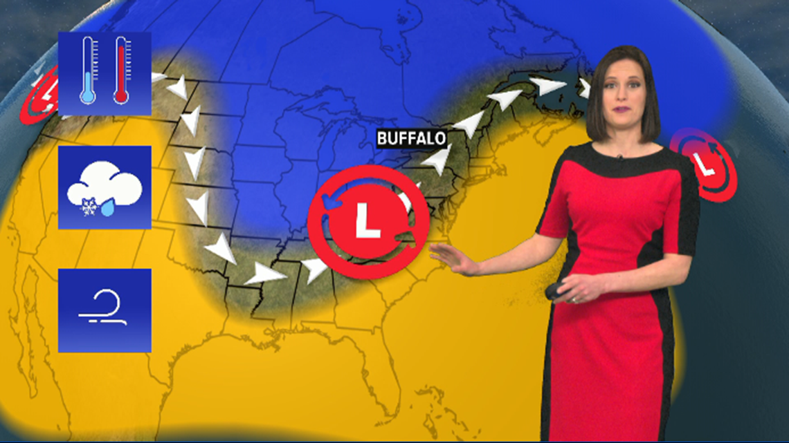
Said another way, computer models do really well in weather patterns that don’t involve a whole lot of change or anything that would be considered very unusual for a certain time of the year. The more tranquil and stagnant a pattern is, the better the model will do and the more confidence forecasters have in using that model as a guide.

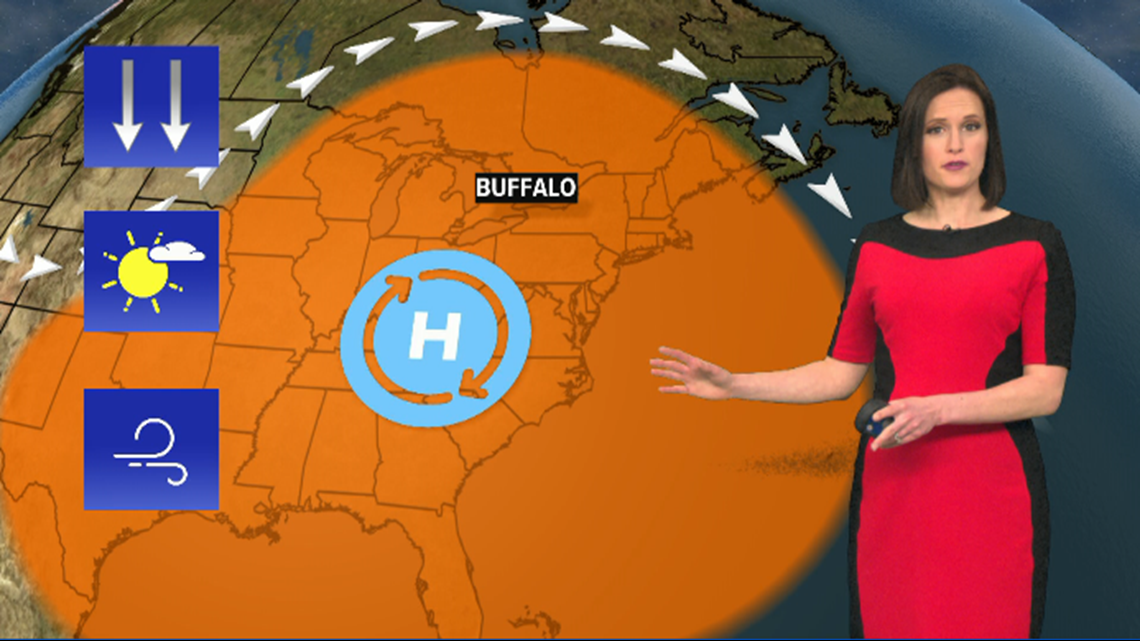
Those more tranquil weather patterns are more common in the middle of the summer. But the more changeable weather patterns come in the fall and spring. Things like rapid temperature swings, big wind storms or weather systems with multiple precipitation types can all be head scratchers for us humans and figuratively for the computer models as well.

New episodes of Heather’s Weather Whys are posted to the WGRZ YouTube channel every Wednesday evening. If you have a weather question for Heather to answer, send it to her at heather.waldman@wgrz.com or connect with her on Facebook or Twitter.